


Meltwater
Meltwater carries rock  , gravel, sand and mud away from the glacier. The debris is transported and deposited by rivers
  and in lakes.
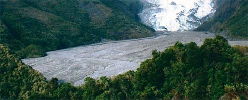
When the meltwater flows out of the tunnel it starts to slow down. The slower moving meltwater deposits gravel and sand on an outwash plain.
Eskers and fans are important sources of gravel and sand. This is used for roads and buildings.
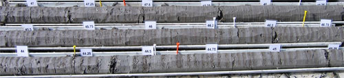
Layers of sand, silt and clay are deposited in the lake further away from the tunnel. These layers are called varves. Geologists can count the clay layers to figure out how many years the lake covered the landscape.
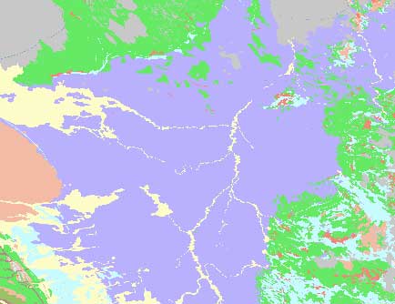
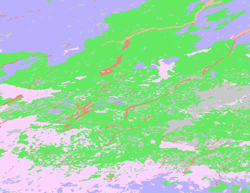
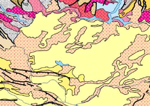
Glacial lake sediments (silt and clay) are shown in purple on the superficial geology map of Manitoba, Canada. These sediments are often found in low-lying areas and the landscape is usually very flat.
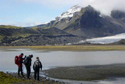
Many melting glaciers have lakes, called proglacial lakes, in front of the ice.
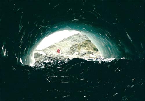
Meltwater streams begin in tunnels under the ice.
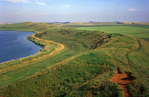
Rocks and gravel dumped in these tunnels form long thin ridges called eskers.
Sand and gravel eskers are shown as long thin red lines on the superficial geology map  of Manitoba, Canada.
Most eskers point in the direction that the glacier moved across the landscape.
This glacier moved from the north-east to the south-west.
Large fan-shaped piles of gravel and sand can build up in the lake at the mouth of tunnels.
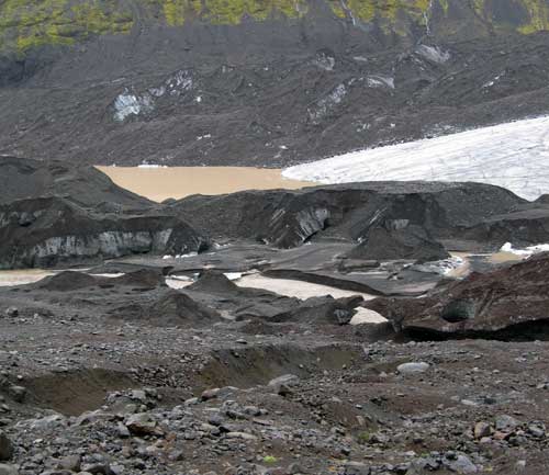
Sometimes meltwater collects in subglacial lakes in chambers beneath the glacier. Proglacial and subglacial lakes can drain suddenly creating powerful floods called jökulhlaups. Huge volumes of meltwater and sediment can carve out massive drainage channels.
Geologists think the channelled scablands in Washington State, USA, were formed by the sudden drainage of Glacial Lake Missoula.
« Back
